UK River Resources

Your definitive toolkit for exploring, monitoring, and protecting British waterways.

Essential River Resources for the UK

Whether you are planning a fishing trip, checking whether your local river is safe to swim in, looking for a river trust to support, or searching for a community clean-up to join, this page brings together the most useful UK river resources in one place. Each section below provides in-depth information, practical guidance and direct links to the tools and organisations you need.

We have curated eight resource categories covering conservation, water quality monitoring, river mapping, fishing regulations, paddling access, freshwater wildlife, citizen science and volunteering. Together they form a comprehensive directory for anyone who uses, studies or cares about British rivers \u2014 from anglers and wild swimmers to students, researchers and conservation volunteers.

Directory Peaceful stream flowing through greenery in the Cotswolds

Where can I find UK river conservation organisations near me?

Our UK River Heroes Directory profiles over 20 national charities, local river trusts and grassroots campaigns working to protect British waterways — from The Rivers Trust and Surfers Against Sewage to Afonydd Cymru and Thames21.

The directory is organised by region and catchment so you can find the trust working closest to your local river. Each profile includes the organisation’s mission, key campaigns, volunteer opportunities and a direct link to their website so you can support their work or get involved.

River trusts across the UK carry out hands-on conservation work including habitat restoration, spawning bed improvements, invasive species removal and community education programmes. Many also run citizen science initiatives and water quality monitoring networks that feed real-time data into the national evidence base used by the Environment Agency and Natural Resources Wales.

Whether you want to volunteer for a river clean-up, donate to a conservation appeal, report a pollution incident or simply learn more about the organisations protecting your local waterway, the River Heroes Directory is the most comprehensive starting point on the web for UK river conservation.

Organisations listed 20+
Coverage England, Scotland, Wales & NI
Types Charities, trusts, campaign groups
Updated Quarterly
Explore UK River Heroes Directory
Live Data Long exposure of a clean stream flowing over mossy rocks

How can I check UK river water quality in real time?

The Environment Agency publishes live pollution and water quality data for every monitored river in England, while SEPA and NRW cover Scotland and Wales. The Rivers Trust sewage map overlays storm overflow discharge alerts on an interactive UK map.

Water quality in UK rivers is measured against several key parameters: dissolved oxygen, phosphate levels, nitrate concentrations, ammonia, pH and biological indicators such as macroinvertebrate populations. The Environment Agency classifies each river stretch as High, Good, Moderate, Poor or Bad under the Water Framework Directive, and these classifications are updated annually.

Sewage discharges from storm overflows are one of the biggest concerns for river users. Water companies are legally permitted to release untreated sewage into rivers during heavy rainfall to prevent sewer flooding, but the frequency and volume of these discharges has come under intense public scrutiny. The Rivers Trust’s Sewage Map lets you search any river or postcode to see overflow locations, the number of discharge hours recorded in the latest year, and the water company responsible.

For wild swimmers, the gov.uk bathing water quality tracker provides real-time predictions for designated bathing sites during the summer season. Always check the latest data before entering any river, avoid swimming within 48 hours of heavy rainfall, and look for signs of pollution such as cloudy water, unusual odours or surface foam.

Data source Environment Agency, SEPA, NRW
Update frequency Hourly to daily
Key metrics E. coli, phosphate, ammonia
Coverage 8,000+ river stretches
Explore Live Water Quality & Pollution Trackers
Database Aerial view of a meandering river through the landscape

Is there a complete map and A-Z list of all UK rivers?

Our UK River Mapping and A-Z Database lists every major British river with its length, source, mouth, region and key facts in one searchable, filterable directory — from the 220-mile River Severn to the chalk streams of Hampshire.

The UK has an extraordinary network of rivers — over 1,500 named waterways across England, Scotland, Wales and Northern Ireland. Our directory covers every major river and many significant tributaries, with individual pages for each featuring detailed information on the river’s geography, history, wildlife, recreational access and conservation status.

Each river page in our database includes an overview of the river’s course from source to mouth, its length in miles and kilometres, the counties and regions it flows through, the major towns and cities along its banks, the fish species it supports, and the activities available such as fishing, kayaking, wild swimming and riverside walking.

The directory is fully searchable by river name and filterable by region (England, Scotland, Wales, Northern Ireland) and by activity (fishing, kayaking, walking, wildlife watching). This makes it an essential planning tool for outdoor enthusiasts, geography students, conservation researchers and anyone planning a riverside day out in the UK.

We also highlight the UK’s chalk streams — a globally rare habitat found almost exclusively in southern England. Just 210 chalk streams exist worldwide, and 160 of them are in England, including the famous River Test, River Itchen and River Avon. Our database flags these specially so visitors can learn about their unique ecology and the threats they face from over-abstraction and pollution.

Rivers listed 1,500+ named waterways
Longest river River Severn — 220 miles
Chalk streams 160 in England (of 210 worldwide)
Filterable by Region, activity, length
Explore UK River Mapping & A-Z Database
Regulations Man fly fishing in River Nidd, Knaresborough, UK

Do I need a licence to fish on a UK river and what byelaws apply?

You need an Environment Agency rod licence to fish in England and Wales, plus a permit or day ticket from the fishery owner. In Scotland, permission is required from the local district salmon fishery board. Byelaws vary by region and species.

Fishing on UK rivers is governed by a combination of national rod licences, regional byelaws and local fishery permits. The Environment Agency rod licence is a legal requirement for anyone aged 13 or over fishing for salmon, trout, freshwater fish or eels in England and Wales. Licences are available as annual, 8-day or 1-day options and can be purchased online from the gov.uk website or at any Post Office.

Regional byelaws set the rules for each area, including open and closed seasons, bait restrictions, size limits and method restrictions. For example, the coarse fish close season runs from 15 March to 15 June on all rivers in England and Wales, during which it is illegal to fish for coarse species. Salmon and trout seasons vary by region and river — always check the local byelaws before you head out.

In Scotland, there is no national rod licence, but you need permission from the owner of the fishing rights or the local district salmon fishery board to fish for salmon and sea trout. Brown trout fishing rights are less restrictive but still require landowner permission in most areas. The Loch Lomond Angling Improvement Association and similar bodies offer affordable permits for visiting anglers.

Our fishing regulations guide breaks down everything you need to know about rod licences, byelaws, close seasons and permits for each UK nation. We also link to the official Environment Agency, SEPA and NRW resources so you can verify the latest rules before your trip.

Rod licence cost £30/year (coarse & non-migratory trout)
Coarse close season 15 March – 15 June (rivers)
Where to buy gov.uk or any Post Office
Scotland No licence, but permission required
Explore Angling, Byelaws & Fishing Regulations
Safety & Access Group paddleboarding on a calm river

What are the rules for paddling, kayaking and paddleboarding on UK rivers?

British Canoeing publishes the Water Safety Code and access guidance covering where you can paddle, portage rights and safety on UK waterways. A British Canoeing or Waterways Licence gives access to over 4,500km of navigations in England and Wales.

Paddling access on UK rivers is a complex and sometimes contentious issue. In England and Wales, there is no definitive public right of navigation on most non-tidal rivers — the right to paddle may depend on whether the river is a Navigation Authority waterway (such as the Thames or the Norfolk Broads) or whether you hold a British Canoeing licence. In Scotland, the Land Reform (Scotland) Act 2003 establishes a right of responsible access to most inland waters for recreation.

A British Canoeing membership includes a Waterways Licence that covers over 4,500km of managed navigations, including Canal & River Trust waterways, the Broads Authority waters and many Environment Agency navigations. If you paddleboard, you can also purchase a standalone Waterways Licence through British Canoeing without full membership.

The Water Safety Code is essential reading for anyone heading out on a river. It covers four key principles: check the conditions (water level, flow rate, weather forecast), wear the right equipment (buoyancy aid, helmet for white water, suitable footwear), never paddle alone or in flood conditions, and always tell someone where you are going and when you expect to return.

Our blog guides on river kayaking safety for beginners and whether you need a licence to paddleboard cover the practical steps in detail, with links to British Canoeing’s official resources and the RNLI’s float-to-live advice. We also recommend downloading the Go Paddling app, which shows launch points and access information for paddling spots across the UK.

Licence coverage 4,500+ km of navigations
Scotland Right of responsible access (2003 Act)
Safety code Check, equip, never alone, tell someone
App Go Paddling (free)
Explore Paddling, Access & Water Safety Code
Wildlife Eurasian kingfisher with blue and orange plumage perched on a branch

What wildlife lives in and around UK rivers and how is it protected?

UK rivers support otters, kingfishers, Atlantic salmon, water voles, mayflies, brown trout, barbel and over 40 species of freshwater fish. Many are protected under UK and European law, and their populations are key indicators of river health.

UK rivers are home to a remarkable diversity of freshwater wildlife. Mammals include otters, water voles, water shrews and daubenton’s bats. Birds range from kingfishers and dippers to grey herons, common sandpipers and goosanders. Fish species span Atlantic salmon, brown trout, sea trout, grayling, barbel, chub, pike, perch, roach and brook lamprey.

The return of otters to every county in England is one of the greatest conservation success stories of the past 50 years. Banned pesticides like dieldrin drove otters to near-extinction in the 1970s, but legal protection, cleaner rivers and targeted conservation work have enabled their recovery. The Wildlife Trusts continue to monitor otter populations and improve riparian habitats to support their spread.

Invertebrates are equally important. Mayflies, stoneflies and caddisflies are sensitive to pollution, so their presence (or absence) tells scientists a lot about water quality. The Riverfly Partnership trains volunteers to sample and count these indicator species each month, creating an early-warning system that detects pollution incidents before they become visible to the naked eye.

Protection is provided through a combination of UK legislation (Wildlife and Countryside Act 1981, Conservation of Habitats and Species Regulations 2017), European designations (Special Areas of Conservation for rivers like the Wye, Tweed and Dee) and local Biodiversity Action Plans. Our wildlife guide links to each of these resources and explains how river users can contribute to wildlife monitoring through citizen science.

Freshwater fish species 40+
Protected mammals Otter, water vole, water shrew
Key indicator species Mayflies, stoneflies, caddis
Conservation status law WCA 1981, Habitats Regs 2017
Explore Freshwater Wildlife & Conservation Guide
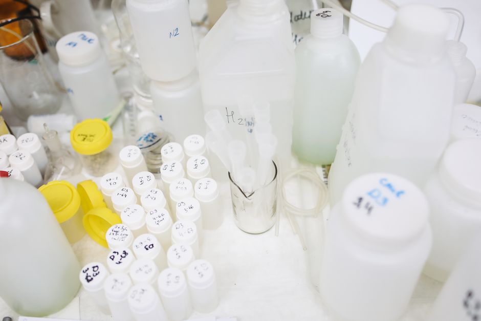
Citizen Science Scientific sample bottles in a laboratory setting

How do I get involved in citizen science and water sampling for UK rivers?

The Riverfly Partnership and FreshWater Watch train volunteers to sample invertebrates and test water quality on rivers across the UK. Sampling takes about 30 minutes per month and feeds directly into the national water quality evidence base.

Citizen science has become one of the most powerful tools for monitoring UK river health. The Riverfly Partnership coordinates a nationwide network of volunteer sampling groups that count key invertebrate species each month. If invertebrate scores drop below a trigger level, the Environment Agency is notified and investigates for pollution within 48 hours — a rapid response system that simply would not be possible without volunteers.

FreshWater Watch, run by the Earthwatch Institute, trains volunteers to test water quality using simple kits that measure nitrates, phosphates and turbidity. Volunteers upload their readings to a shared database that researchers use to track long-term trends and identify pollution hotspots that official monitoring networks might miss.

Getting involved is straightforward. Most river trusts run citizen science programmes and provide free training. You do not need any scientific background — the sampling protocols are designed for complete beginners and take around 30 minutes per month at your adopted river site. Equipment is usually provided on loan or at subsidised cost.

Other citizen science opportunities include the Anglers’ Riverfly Monitoring Initiative (ARMI), the Big River Watch run by The Rivers Trust each September, and eDNA sampling programmes that detect rare species like otters and water voles from a single water sample. Our guide links to each programme with sign-up details and training schedules.

Time commitment ~30 minutes/month
Main programmes Riverfly, FreshWater Watch, ARMI
Training Free via local river trusts
Impact Triggers EA pollution investigation within 48h
Explore Citizen Science & Water Sampling Hub
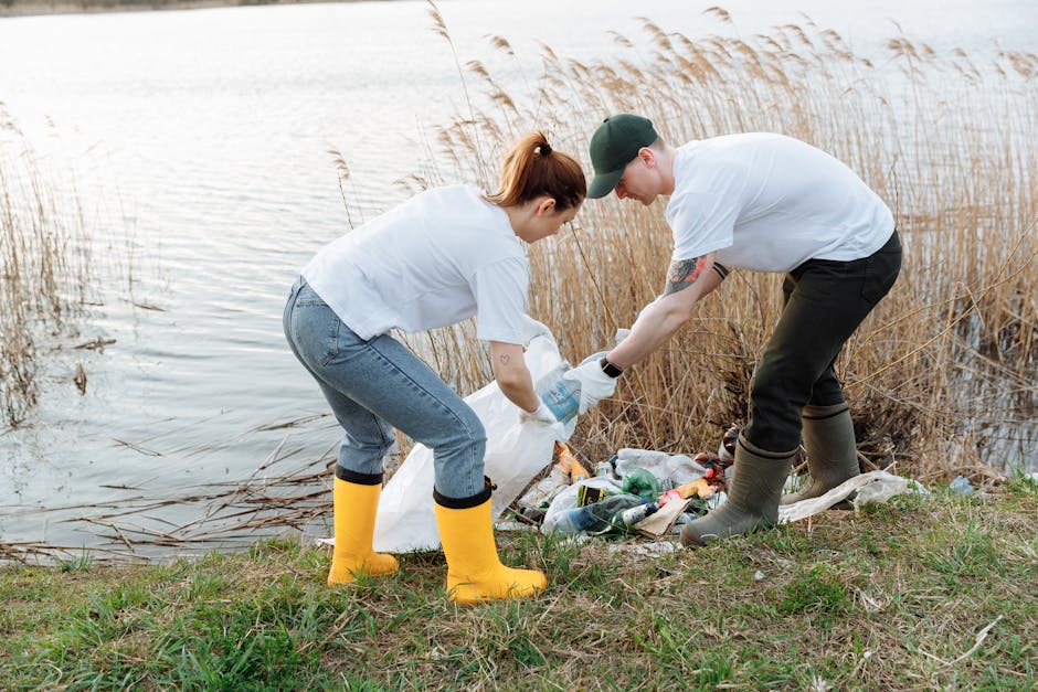
Volunteer Two volunteers picking up trash by a river

Where can I find river clean-up volunteer days near me in the UK?

Thames21, The Rivers Trust network and Surfers Against Sewage run regular community clean-up events searchable by region on their websites. Most events provide equipment and training on the day, and anyone can join without prior experience.

River clean-ups are one of the most accessible and immediately rewarding ways to help UK rivers. Volunteering events are held year-round across the country, typically lasting 2–3 hours on a weekend morning. Organisers provide all equipment — litter pickers, gloves, bags and hi-vis vests — so you just need to turn up in suitable clothing and sturdy footwear.

Thames21 runs regular clean-ups across the London catchment, including the Thames, Lee, Wandle, Colne and Crane river systems. Their events page lists upcoming dates by location, and they also offer free training for anyone who wants to become a certified cleanup leader and run their own events.

The Rivers Trust network covers the rest of England and Wales, with dozens of local trusts running clean-ups, habitat restoration days and invasive species removal sessions. Surfers Against Sewage organise the annual Million Mile Clean — the UK’s largest community clean-up initiative — with events on rivers, beaches and inland waterways. You can search for events near you on their interactive map.

If you want to start your own clean-up, most river trusts provide free organising toolkits, risk assessment templates and insurance guidance for community groups. Even a small-scale clean-up with friends and family makes a measurable difference to the amount of plastic and debris reaching our rivers and ultimately the sea.

Event duration 2–3 hours, usually weekends
Equipment Provided free by organisers
Experience needed None — beginners welcome
Largest initiative SAS Million Mile Clean
Explore Volunteer & River Clean-Up Finder