River Trent
185 miles (297 km)
About River Trent
The River Trent is England's third-longest river, flowing through the Midlands and joining the River Ouse to form the Humber Estuary. Important for navigation and industry.
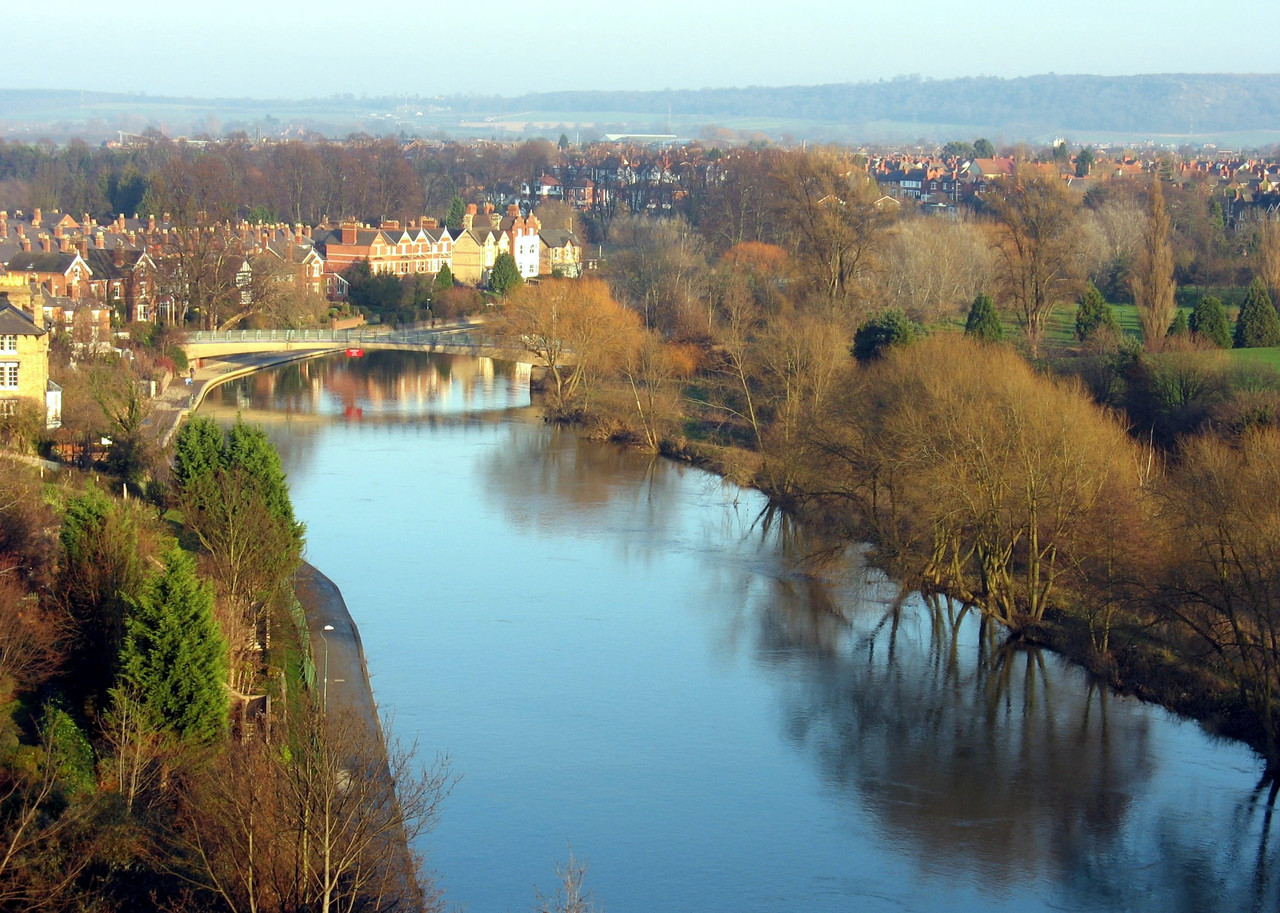
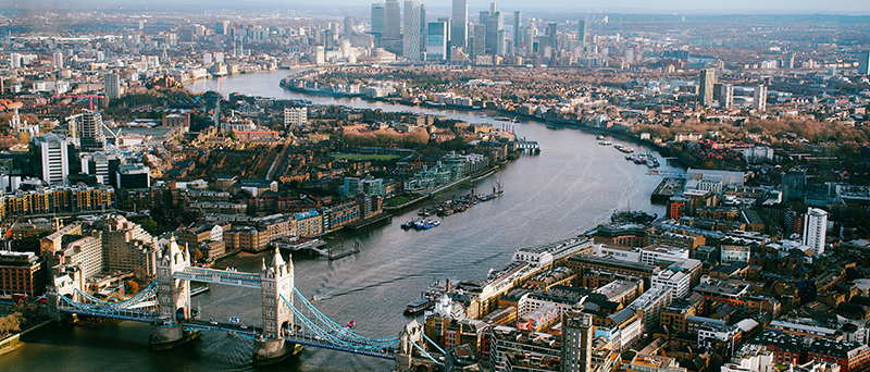
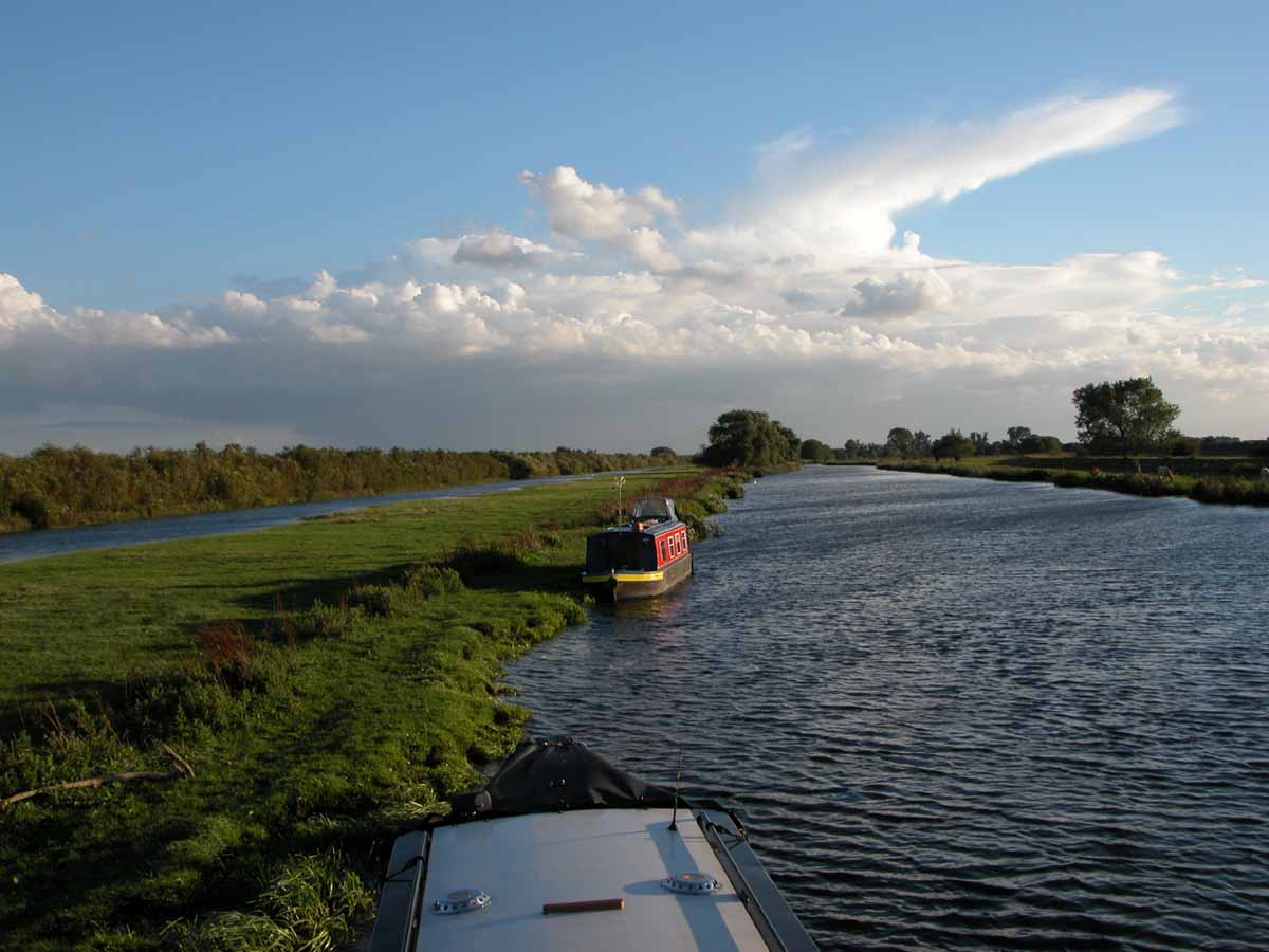
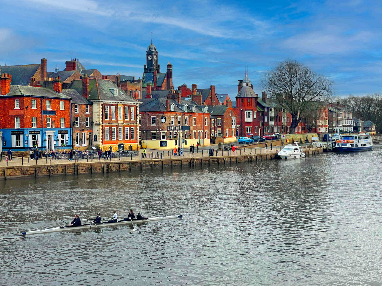
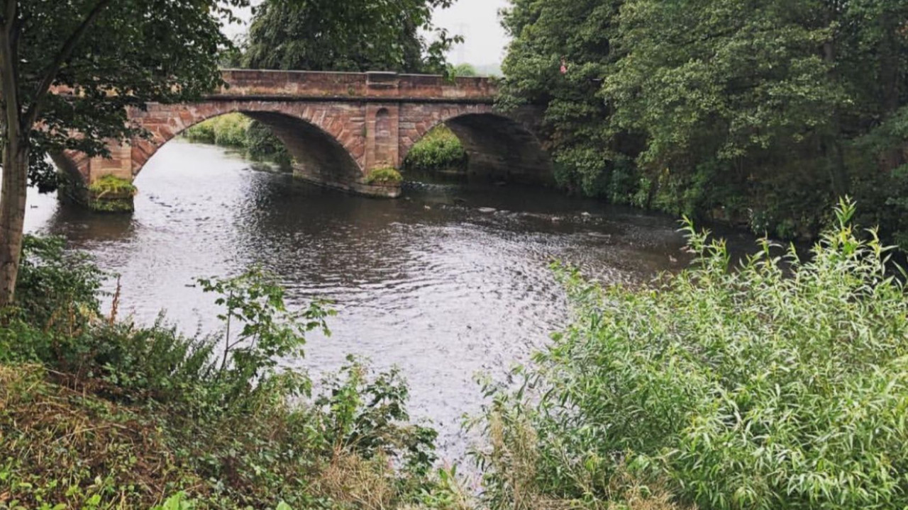
River Trent Photo Gallery


River Trent Fact File
- Length
- 185 miles 297 km
- Source
- Biddulph Moor, Staffordshire
- Mouth
- Humber Estuary
- Region
- England
- Fishing Season
- Coarse fishing: June-March; Predatory fish restrictions apply
- Gold Deposits
- No
Related Rivers
River Geography & Education
Physical Geography
River Course: The River Trent follows a classic river profile from source to mouth, creating diverse habitats along its 185 mile journey.
Landscape Features: The river creates distinctive features including meanders, floodplains, and an estuary where it meets the sea.
Geology: The river has carved through England landscape over thousands of years, shaped by the underlying bedrock and glacial activity.
Human Geography
Settlements: Major towns and cities developed along the River Trent due to access to water, transportation, and trade opportunities.
Historical Industry: The river powered mills, supported fishing communities, and served as a vital transport route for goods and people.
Modern Use: Today the river supports recreation, tourism, water sports, and remains important for local ecosystems.
Environmental Status
Water Quality: Regular monitoring ensures the river maintains good ecological status under UK water quality standards.
Conservation: Protected habitats along the river support 7 species of wildlife including rare and endangered species.
Climate Adaptation: River management includes flood prevention, habitat restoration, and preparing for changing rainfall patterns.
Flood Management
Flood Risk: Like all UK rivers, the River Trent experiences seasonal variations in flow and occasional flooding during heavy rainfall.
Defenses: Flood management schemes protect communities through embankments, flood storage areas, and early warning systems.
Natural Solutions: Riverside tree planting and wetland restoration help manage water flow naturally while supporting biodiversity.
FAQs
How long is the River Trent?
The River Trent is 185 miles (297 km) long, making it one of the longer rivers in the UK.
Where does the River Trent start and end?
The River Trent rises at Biddulph Moor, Staffordshire and flows to Humber Estuary. English rivers have played crucial roles in history and industry.
What wildlife can I see along the River Trent?
The River Trent supports diverse wildlife including Pike, Barbel, Chub, and more. Bring binoculars for the best wildlife watching experience.
What activities are available on the River Trent?
Popular activities on the River Trent include Coarse Fishing, Boating, Walking, Cycling, and more. Always check local regulations and safety guidelines.
Is it safe to swim in the River Trent?
Not recommended due to strong currents, depth variations, and boat traffic.. Always check current water quality, avoid swimming after heavy rain, never swim alone, and be aware of currents and underwater hazards.
What makes the River Trent special?
The River Trent is special for its natural beauty, wildlife, and recreational opportunities. Each UK river has unique characteristics shaped by its geology and history.