River Tay
120 miles (193 km) Contains Gold
About River Tay
The River Tay is Scotland's longest river and has the largest discharge of any river in Britain. Famous for Atlantic salmon and known to contain gold deposits.
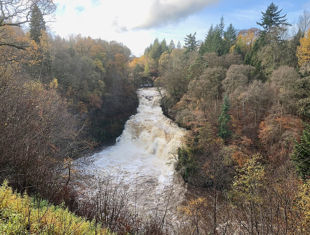
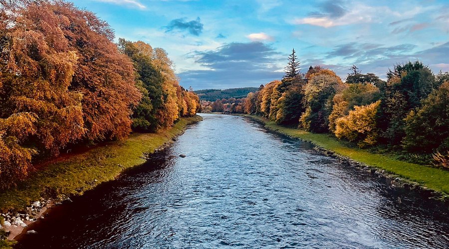
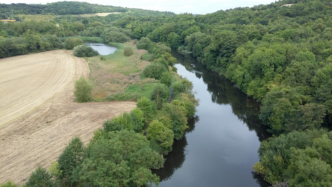
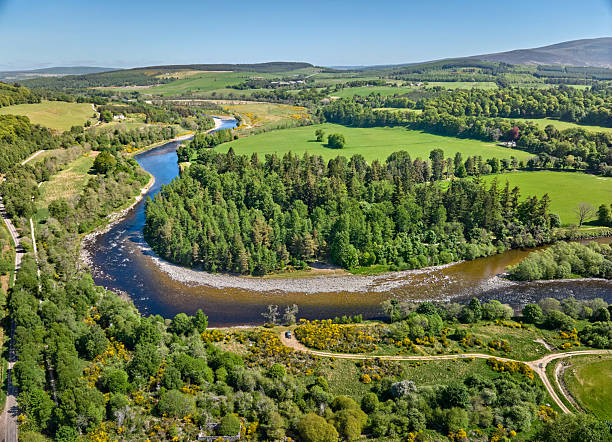
River Tay Photo Gallery


River Tay Fact File
- Length
- 120 miles 193 km
- Source
- Ben Lui, Scottish Highlands
- Mouth
- Firth of Tay, North Sea
- Region
- Scotland
- Fishing Season
- Salmon: January-October; Trout: March-September
- Gold Deposits
- Yes
Related Rivers

River Geography & Education
Physical Geography
River Course: The River Tay follows a classic river profile from source to mouth, creating diverse habitats along its 120 mile journey.
Landscape Features: The river creates distinctive features including meanders, floodplains, and an estuary where it meets the sea.
Geology: The river has carved through Scotland landscape over thousands of years, shaped by the underlying bedrock and glacial activity.
Human Geography
Settlements: Major towns and cities developed along the River Tay due to access to water, transportation, and trade opportunities.
Historical Industry: The river powered mills, supported fishing communities, and served as a vital transport route for goods and people.
Modern Use: Today the river supports recreation, tourism, water sports, and remains important for local ecosystems.
Environmental Status
Water Quality: Regular monitoring ensures the river maintains good ecological status under UK water quality standards.
Conservation: Protected habitats along the river support 7 species of wildlife including rare and endangered species.
Climate Adaptation: River management includes flood prevention, habitat restoration, and preparing for changing rainfall patterns.
Flood Management
Flood Risk: Like all UK rivers, the River Tay experiences seasonal variations in flow and occasional flooding during heavy rainfall.
Defenses: Flood management schemes protect communities through embankments, flood storage areas, and early warning systems.
Natural Solutions: Riverside tree planting and wetland restoration help manage water flow naturally while supporting biodiversity.
FAQs
How long is the River Tay?
The River Tay is 120 miles (193 km) long, making it a significant rivers in the UK.
Where does the River Tay start and end?
The River Tay rises at Ben Lui, Scottish Highlands and flows to Firth of Tay, North Sea. Scottish rivers often flow through dramatic highland scenery.
What wildlife can I see along the River Tay?
The River Tay supports diverse wildlife including Atlantic Salmon, Sea Trout, Brown Trout, and more. Bring binoculars for the best wildlife watching experience.
What activities are available on the River Tay?
Popular activities on the River Tay include Salmon Fishing, Gold Panning, Kayaking, Wildlife Watching, and more. Always check local regulations and safety guidelines.
Is it safe to swim in the River Tay?
Cold water temperatures year-round. Only swim in designated areas with proper safety equipment.. Always check current water quality, avoid swimming after heavy rain, never swim alone, and be aware of currents and underwater hazards.
Can you find gold in the River Tay?
Yes, the River Tay is known to contain natural gold deposits. Gold panning requires landowner permission and proper equipment. The gold comes from erosion of gold-bearing rocks upstream.